A large bulk pack for high-traffic tourism businesses
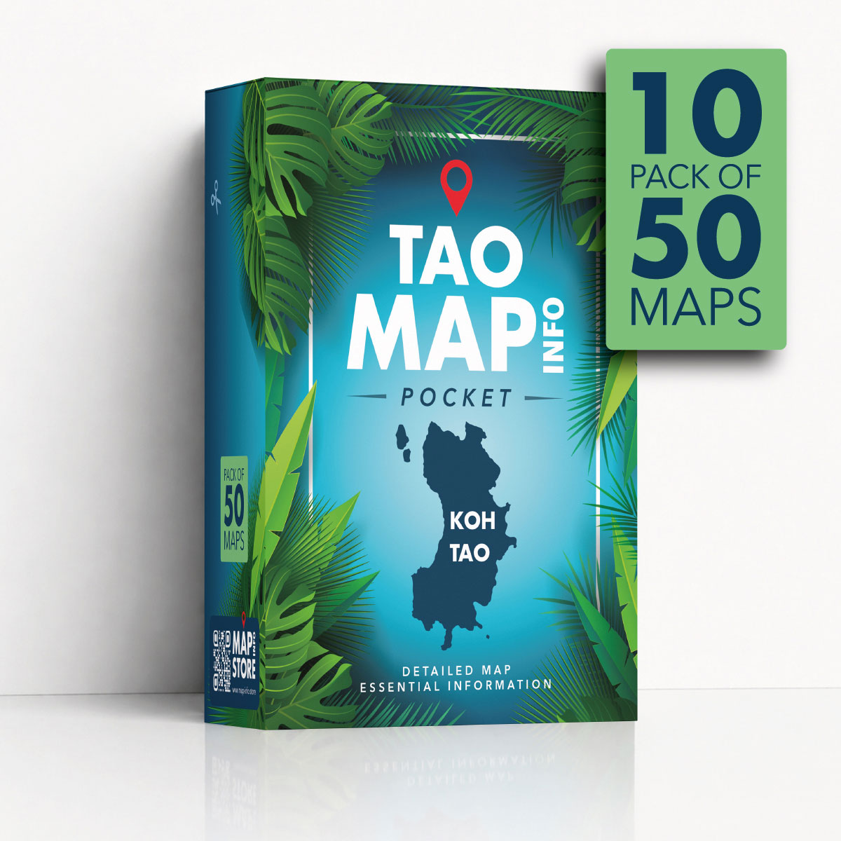
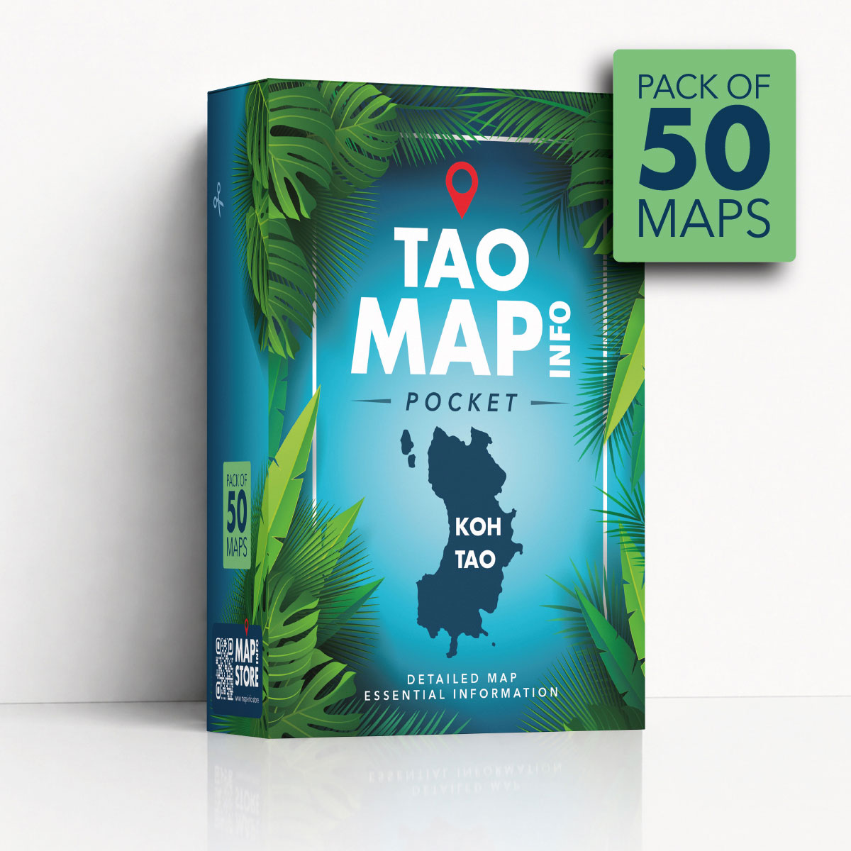
The 500 TAO MAP INFO POCKET is a large bulk pack of 500 compact folded tourist maps of Koh Tao, organized as 10 packs of 50 maps.
It is designed for companies that welcome a large number of guests, customers or visitors and need a reliable supply of printed Koh Tao maps.
This pack is ideal for hotels, resorts, large villa management companies, car and scooter rental companies, tour operators, travel agencies, transfer companies, activity providers and other tourism businesses with regular visitor traffic.
It provides a practical stock of maps that can be used daily at reception, in welcome packs, at tour desks, in rental offices or during customer briefings.
Designed for companies with many visitors
Some businesses need more than a small quantity of maps.
Hotels, resorts, large rental companies and busy tourism operators often receive daily questions about beaches, roads, piers, viewpoints, temples, waterfalls, shopping areas and useful services around Koh Tao.
The 500 TAO MAP INFO POCKET pack gives your team enough maps to provide visitors with a useful printed guide on a regular basis.
It is a practical solution for businesses that want to improve customer service while keeping a professional and consistent supply of Koh Tao tourist maps available.
Help guests and customers understand Koh Tao
Many visitors arrive in Koh Tao without a clear understanding of the island’s layout.
A printed map helps them see the island as a whole, identify the main areas and understand how beaches, towns, roads and attractions are connected.
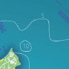
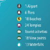
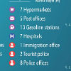
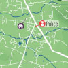
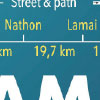
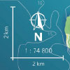
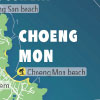
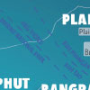
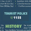
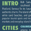
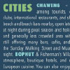
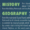
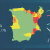
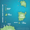
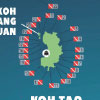
Each TAO MAP INFO POCKET includes main roads, secondary roads, beaches, temples, viewpoints, waterfalls, piers, hospitals, gas stations, supermarkets and other useful locations.
It helps visitors plan their movements, choose places to visit and feel more confident exploring Koh Tao.
A useful tool for reception teams and customer service
For hotels, resorts and tourism offices, a printed map is a simple but effective tool for communication.
Reception teams can use the map to explain directions, show recommended beaches, identify nearby services, point out ferry piers or highlight areas to visit.
Instead of giving only verbal explanations, staff can show locations directly on a clear printed Koh Tao map.
This makes information easier to understand for guests and helps reduce repeated questions about directions, distances and places to visit.
Practical for tours, rentals and transport companies
The 500 TAO MAP INFO POCKET pack is also useful for businesses that provide transport, rentals, tours or activities.
Scooter and car rental companies can give a map to customers before they start driving.
Tour companies can use it to show routes, pickup points, attractions and ferry piers.
Transfer companies can provide it to passengers who want to better understand the island.
For visitors, having a printed map makes it easier to follow routes, locate beaches, understand distances and discover places beyond their hotel area.
It is a practical support item for many types of tourism services in Koh Tao.
Clean, neutral and advertisement-free
Unlike many free tourist maps, the TAO MAP INFO POCKET is 100% advertisement-free.
The full surface of the map is dedicated to useful travel information, making it cleaner, easier to read and more professional for your guests or customers.
This neutral presentation is especially suitable for companies that want to provide a practical guide without promotional clutter.
The map feels like a useful service item, not an advertising leaflet.
Same detailed map, larger quantity
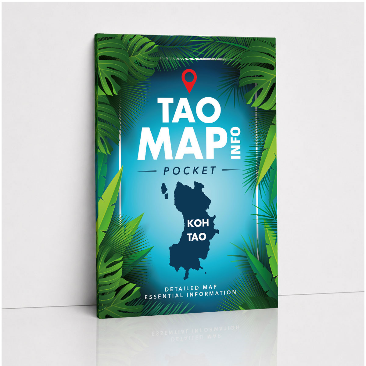
The maps included in the 500 TAO MAP INFO POCKET pack are exactly the same maps as the individual TAO MAP INFO POCKET.
The difference is the quantity: this bulk product contains 500 maps, arranged as 10 packs of 50 maps.
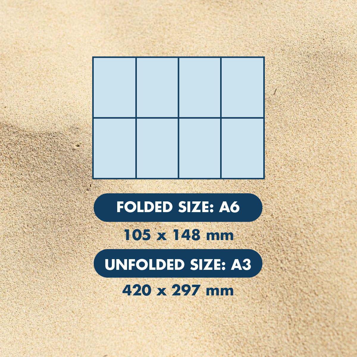
Each map is printed in full color on both sides and includes a detailed Koh Tao road map, destination photos with location references, useful island information and a compact folded format that is easy to distribute and easy to carry.
Ideal for regular distribution
The 500-map quantity is suitable for companies that distribute maps frequently.
It can be used for hotel check-ins, resort welcome desks, villa arrivals, tour departures, vehicle rentals, customer information packs or visitor assistance points.
Having a larger stock helps your business avoid running out of maps during busy periods.
It is a good option for companies with steady tourist traffic or seasonal peaks when many visitors need information about Koh Tao.
Improve the visitor experience
Providing a printed Koh Tao tourist map is a simple way to improve the visitor experience.
It helps guests feel more independent, better informed and more confident when exploring the island.
A map can help visitors choose beaches, understand the main towns, locate piers, find useful services and discover viewpoints, waterfalls, temples and attractions.
For your business, it adds value to the service you already provide.
Why choose 500 TAO MAP INFO POCKET ?
Choose the 500 TAO MAP INFO POCKET if your company needs a large, practical and professional supply of folded Koh Tao maps for guests, customers or visitors.
It is ideal for hotels, resorts, rental companies, tour operators and tourism businesses with regular or high-volume visitor traffic.
Clean, compact, detailed and advertisement-free, this bulk pack is a useful solution for companies that want to help visitors better understand Koh Tao while providing a practical printed guide they can carry during their stay.